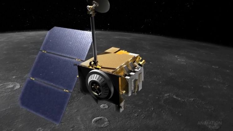
NASA is working to reestablish contact with one of the eight spacecraft that make up its Cyclone Global Navigation Satellite System (CYGNSS) constellation, which monitors hurricanesAlthough there are several GNSS systems, each a constellation of satellites, CYGNSS exclusively uses the U.S Global Positioning System (GPS).
The CYGNSS spacecraft act as sensors, receiving signals from GPS pulses reflected by the surface of Earth. Because these GPS signals operate at low microwave frequencies, they are able to penetrate the thick clouds and rain associated with storms, allowing CYGNSS to measure wind speeds within the inner core of storms.
Scientists hope this data could allow them to better understand how tropical cyclones form, whether they will strengthen, and if so by how much. Ultimately, this knowledge could improve the forecasting and tracking of tropical cyclones. .
CYGNSS was designed by the University of Michigan and Southwest Research Institute in Colorado with the aim of developing a better understanding of the interaction between the sea and the air near the eye of a storm. The University of Michigan took the lead in the development of CYGNSS following a $152 million investment from NASA in 2012. The constellation of microsatellites successfully launched on Dec. 15, 2016, and completed its primary science objectives in March 2019. Since then, CYGNSS has been operating in extended mission status.
CYGNSS is unique because it is the first NASA mission to conduct remote sensing of Earth's surface using an existing Global Navigation Satellite System (GNSS), commonly used to pinpoint a receiver and its user anywhere across Earth.